HIGHLIGHTS OF CALIFORNIA COLLECTIONS
The California Land Case Files
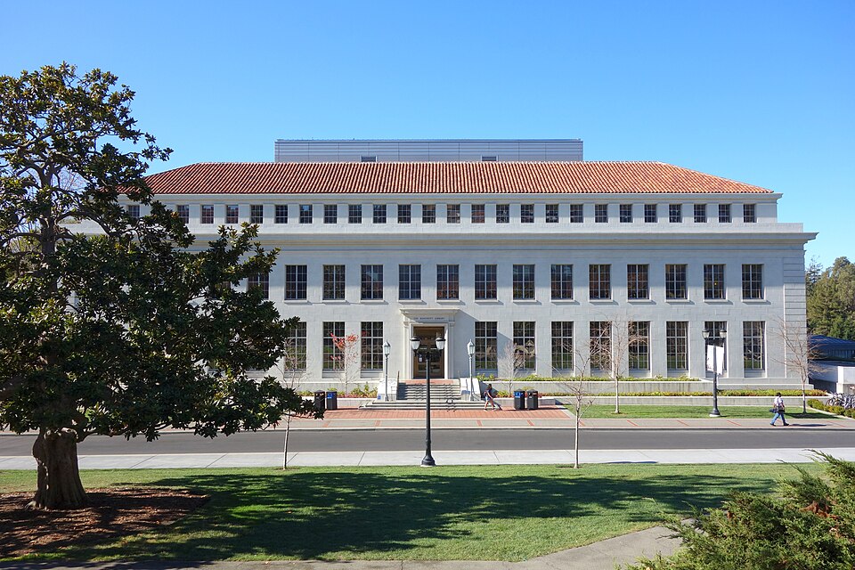
The Bancroft Library
UC Berkeley Collection
The California Land Case Files at The Bancroft Library document how Spanish and Mexican land grants in California were adjudicated after U.S. annexation, preserving more than 133,000 pages of testimony, evidence, and legal records alongside 1,400+ hand-drawn diseños and survey maps that
illuminate early Californian life and historic ranchos from the Californios’ perspective.
Featured Diseño: Rancho San Miguelito
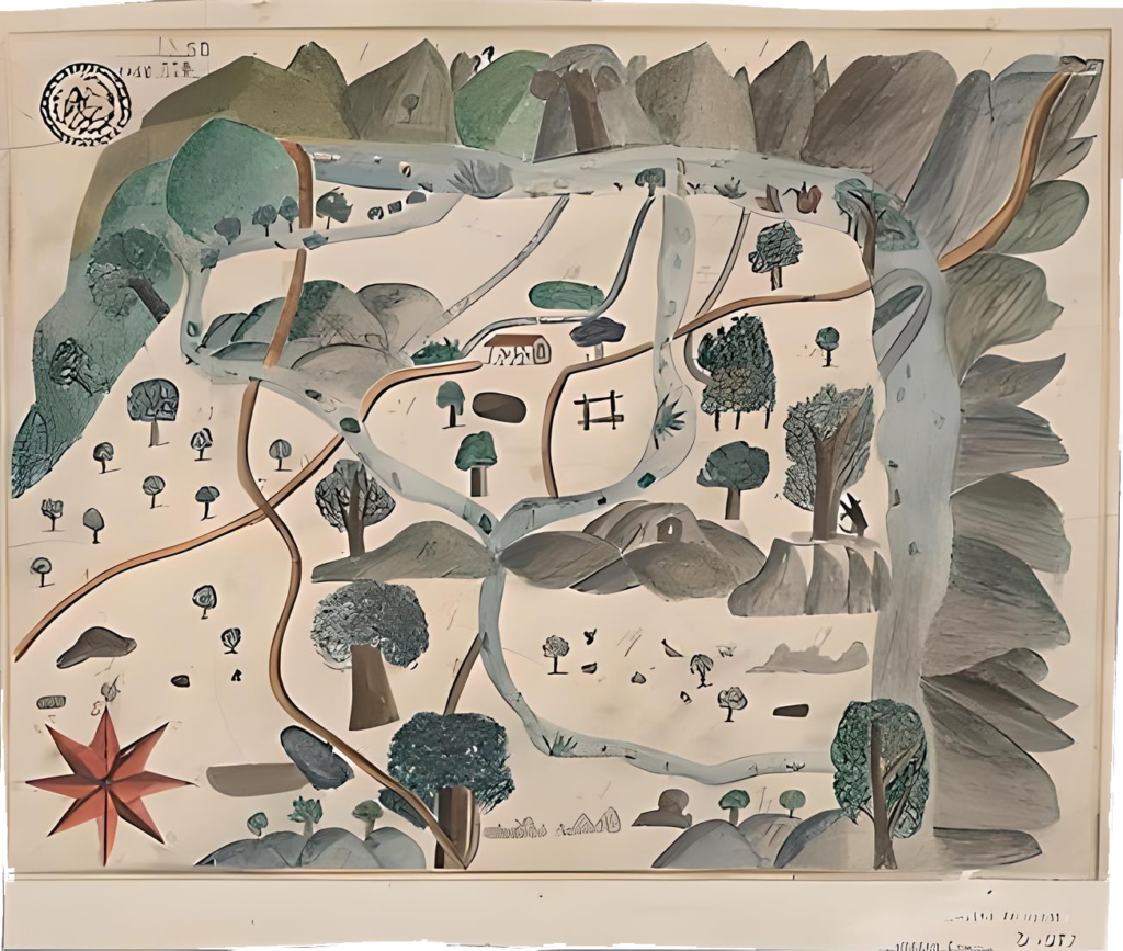
Diseño del Rancho San Miguelito : Monterey County, Calif. U.S. District Court. California, Southern District. Land case 18 SD, page 116; land case map D-972
The Bancroft Library, University of California, Berkeley
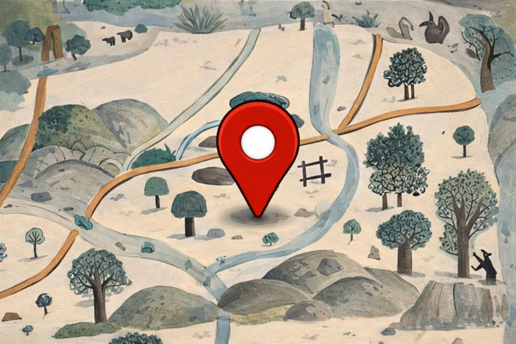
The diseño featured here is part of the land claim of Rancho San Miguelito de Trinidad, located within the ancestral lands of the Salinan-speaking people of present-day Monterey County. It features the Nacimiento River flowing through the property and a California grizzly bear marking a tree. The Santa Lucia Mountains drawn at the top of the map, demarcate the boundaries of this tract of land. This is a fine example of the approximately 1,400 hand-drawn maps deposited at The Bancroft Library that form part of the Spanish and Mexican land claim files in California.
Adjudicating Land Grants
In 1851, the United States Congress created a board of California land commissioners to adjudicate Spanish and Mexican land grants by reviewing the evidence of land ownership submitted by the grantees.
Voices of Californios
The case files preserve testimony, witness depositions, and supporting documents revealing daily life and landholding from the perspective of Mexican Californians, or Californios.
A Changing California
Together, the files and maps provide a unique view into the transition from Mexican to American rule and the fate of historic ranchos after U.S. annexation.
Explore the Collections
California Land Case Files (1852–1892)
The California Land Case Files document how Spanish and Mexican land grants were adjudicated after U.S. annexation, preserving more than 133,000 pages of testimony, evidence, and legal records for 857 private land claims across the state.
- Created for the Board of California Land Commissioners in 1852–1892.
- Includes transcripts, witness depositions, and supporting evidence.
- Offers rich detail on daily life and landholding from the Californios’ perspective.
- Covers all 857 private land claims brought before the American courts.
- Digitized and available online through UC Berkeley’s digital collections.
Land Case Maps & Diseños
The Land Case Maps and diseños comprise over 1,400 hand-drawn and surveyed maps that depict historic ranchos, property boundaries, buildings, and natural features submitted as visual evidence in the land claim cases.
Approximately 1,450 maps linked to the California Land Case Files.
Includes both formal survey maps and more impressionistic diseños.
Show boundaries, settlements, waterways, and landscape features.
Provide visual context for historic Spanish and Mexican land grants.
Fully digitized and accessible via UC Berkeley’s digital collections.
Digital copies are also available via UC Berkeley’s digital collections Visit Digital Collections
HIGHLIGHTS OF CALIFORNIA COLLECTIONS
The Land Case Files and Maps
are now available online
UC BERKELEY’S DIGITAL COLLECTIONS REPOSITORY
and life in early California from the perspective of Mexican Californians, or Californios.
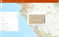
Interactive Map of Historic Land Grants
Explore an interactive map of more than 500 Spanish and Mexican land grants, each drawn as originally patented and recorded by the U.S. Public Land Survey System, with clickable boundaries that open popups linking directly to related maps, diseños, land case files, and case summaries documenting the transition from Mexican to American rule in 1848.
Now Available Online
The Bancroft library has recently launched an interactive map in ArcGIS which allows users to explore our digital collections related to the historic Spanish and Mexican Land grants in California.
This map contains 540 GIS boundaries of Mexican and Spanish land grants, drawn as they were originally patented and recorded by the U.S. Public Land Survey System.
Images are public domain or Creative Commons license
One of the Largest
The Bancroft Library is the primary special collections library at UC Berkeley, and one of the largest and most heavily used libraries of manuscripts, rare books, and unique materials in the United States.
Bancroft supports major research and instructional activities and plays a leading role in the development of the university’s research collections.